Spatial Science and Geographic Information Systems
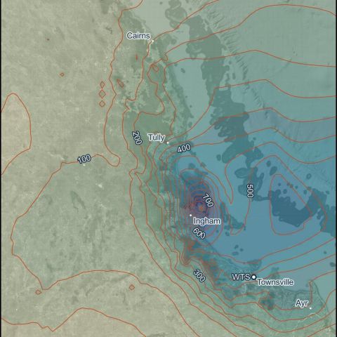
Wulguru Technical Services is passionate about the use of spatial sciences, Geographic Information Systems (GIS) and technology. We provide a range of services which deliver clearer insights into your operation, facilitating time-critical decisions.
How We Assist
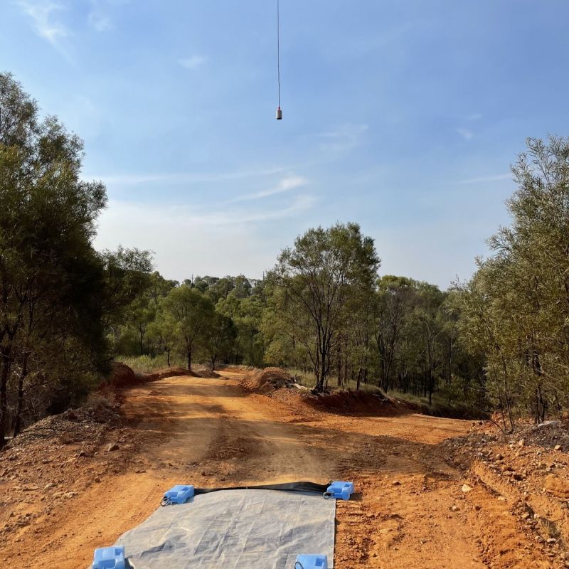
Our staff are well-versed in field activities and experienced in remote work, ensuring a safe and efficient monitoring and sampling program.
We provide support to our clients for one-off events, short programs or long-term environmental monitoring and database maintenance. That means you can be confident that your data is in safe hands.
What We Do:
-
Preparation of “Report-Ready” Mapping Products
-
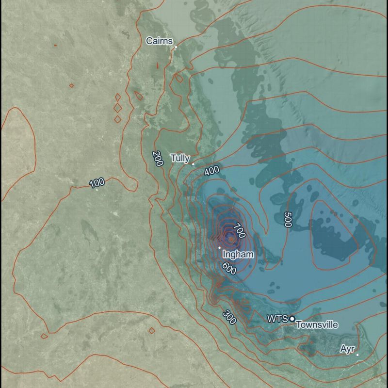
Remote Sensing and Modelling
-
GIS Database Management
-
3D Mapping and Modelling
-
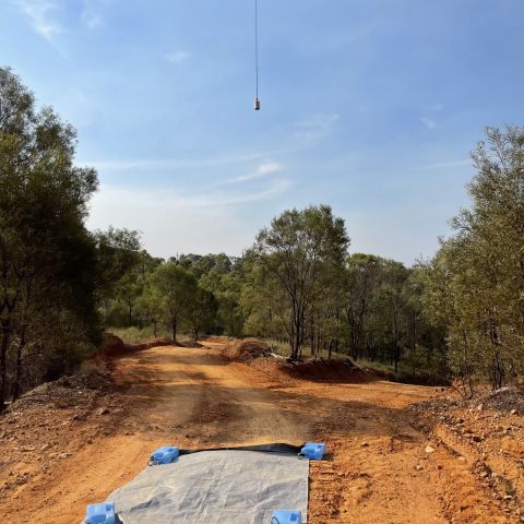
Multispectral and LiDAR Data Collection
-
Collection and Preparation of Satellite and Remotely Piloted Aircraft System (RPAS) Imagery
We'd love to chat about how we can support your project.
